
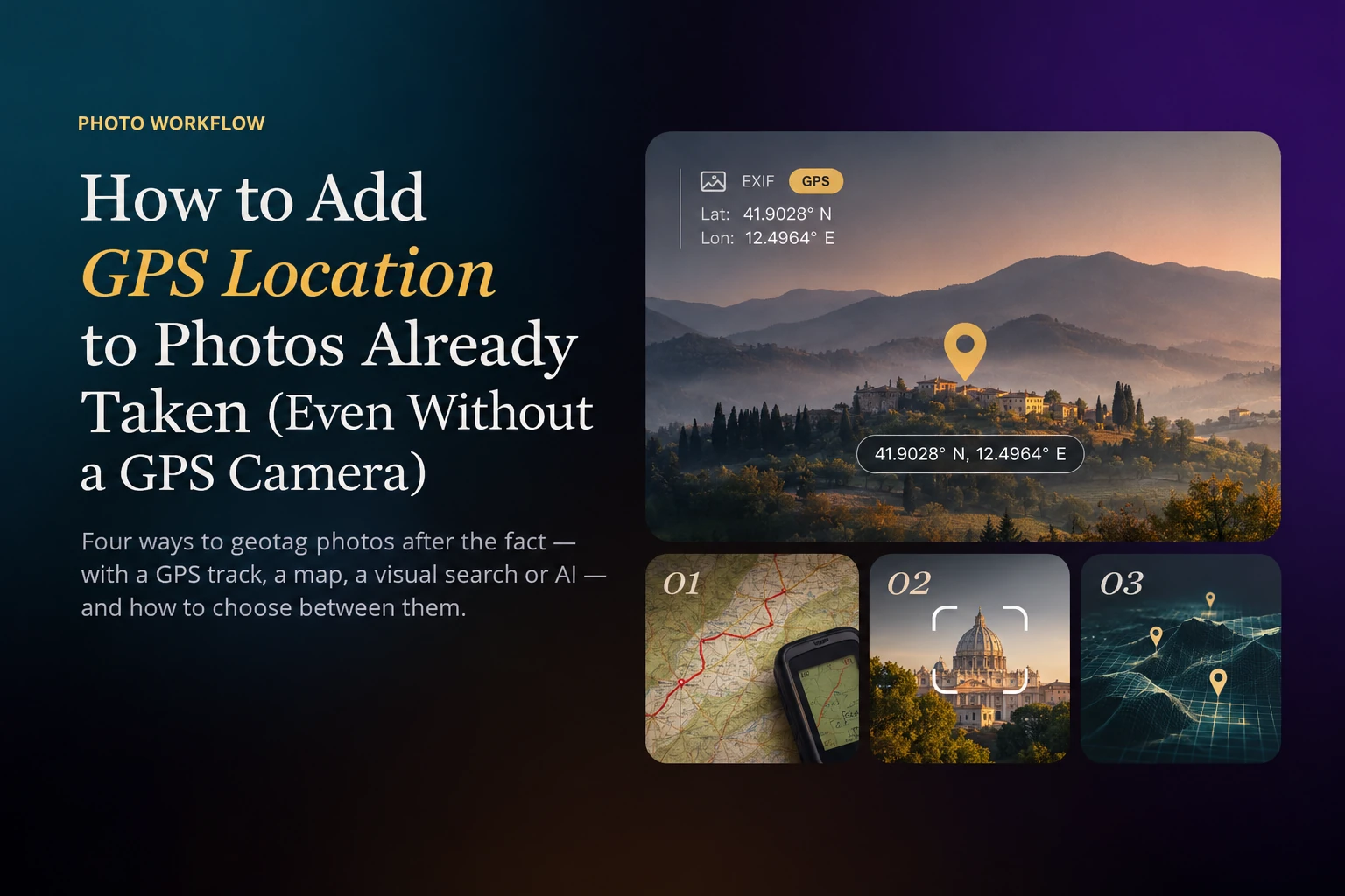
Most cameras ever sold never recorded where a photo was taken. If you shot with a DSLR, a mirrorless body without a phone link, or film you later scanned, your archive probably holds thousands of photos with a date and no place. That gap matters more than it seems: location is how most people remember a trip, how catalogs build their map view, and one of the fastest ways to find a photo years later. You can add it afterwards. The right method depends on what you still have: a GPS track, your memory, or only the photos themselves.
What Geotagging Actually Writes
Geotagging means writing GPS coordinates — latitude, longitude and, optionally, altitude — into the EXIF metadata of the image file. Once they are there, every EXIF-aware app (Lightroom, Capture One, Apple Photos, Google Photos, Windows Explorer) can show the photo on a map, and the location travels with the file wherever you copy it.
One trap is worth knowing before you start: some apps store the location only in their own catalog, not in the file. Lightroom Classic, for example, keeps metadata changes in its catalog until you save metadata to the file or turn on automatic XMP writing, and for proprietary RAW formats it writes an XMP sidecar next to the original instead of touching it. If you want the location to survive a change of software, make sure it ends up in the file or in its sidecar.
Choose a Method by What You Still Have
- A GPS track from your phone, a watch or a logger, recorded while you were shooting: match it to the photos by time. It is the most precise method.
- Your memory of where each set was taken: place the photos on a map by hand, or write the coordinates in bulk.
- One mystery photo of a known landmark: a visual search will usually name the place in seconds.
- Nothing but the photos, and far too many to place by hand: AI visual geolocation reads the place from the image itself.
Method 1: Match a GPS Track to Your Photos
If a GPS logger was running while you shot — a tracking app on your phone, a sports watch, a dedicated logger — you already know where every photo was taken. That information simply lives in a separate file, usually a GPX. Geotagging software compares each photo's capture time with the track and gives the photo the position you were at in that moment.
In Lightroom Classic, open the Map module, load the GPX file with Map → Tracklog → Load Tracklog, select the photos and choose Auto-Tag Selected Photos. On the command line, exiftool does the same for a whole folder with exiftool -geotag track.gpx ./photos. digiKam's Geolocation Editor and HoudahGeo on the Mac offer the same matching with a map preview.
Method 2: Place Photos on a Map by Hand
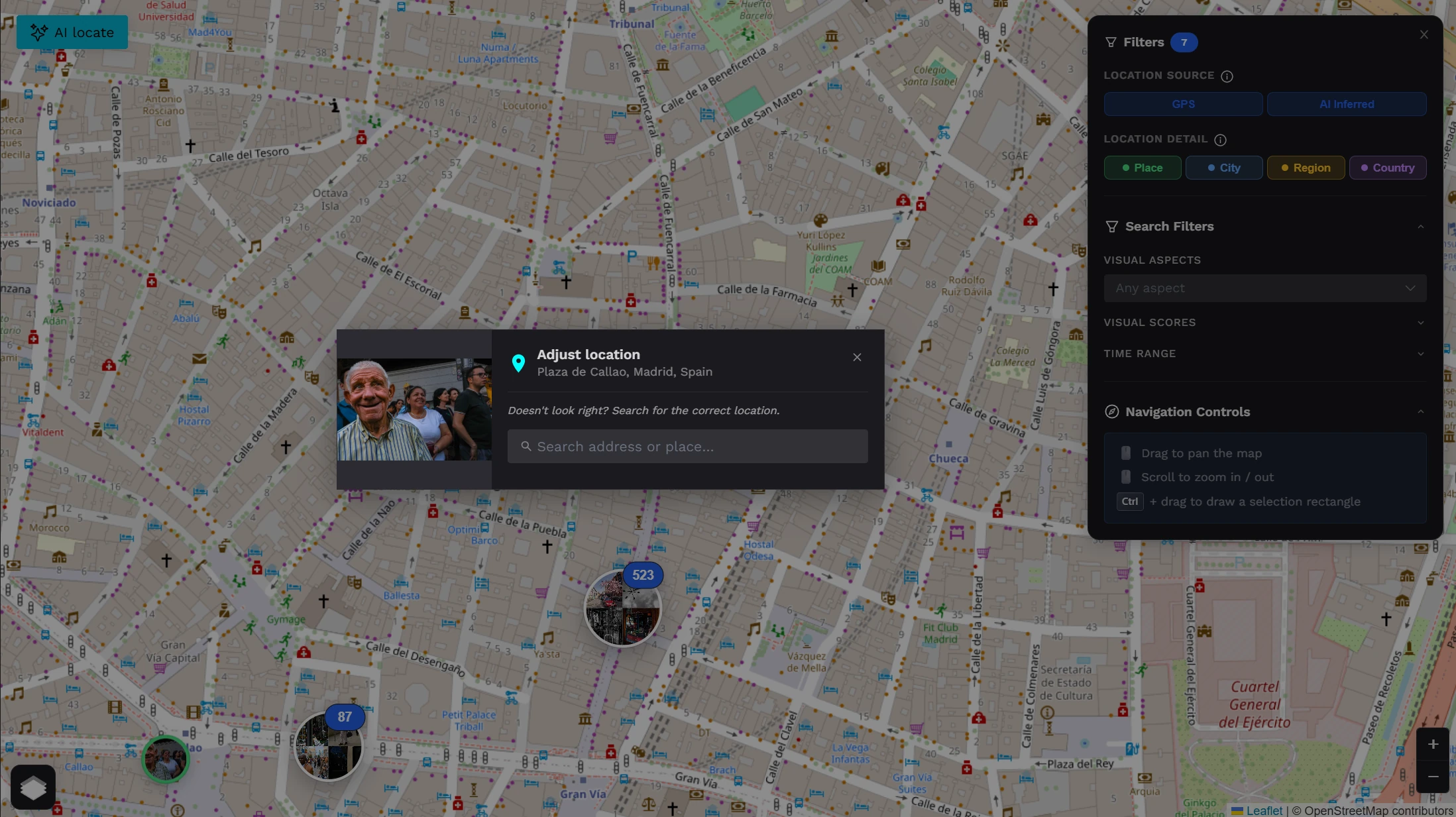
If you remember where you were, a map is enough. In Lightroom Classic's Map module you can drag a selection of photos onto the map, or search for a place, right-click it and add its coordinates to the selected photos. digiKam, Mylio and Apple Photos have similar tools. When a whole folder was shot in one place, exiftool writes the coordinates in a single line, for example exiftool -GPSLatitude=40.4168 -GPSLatitudeRef=N -GPSLongitude=3.7038 -GPSLongitudeRef=W ./madrid.
This works well for a trip you remember day by day. It stops working at scale: placing ten years of travel folder by folder is a weekend you will never find, and memory fails exactly where you need it most — which of the three villages on that road was this one?
Method 3: One Mystery Photo? Try a Visual Search
For a single photo of something recognisable — a cathedral, a bridge, a famous viewpoint — a visual search such as Google Lens often names the place in seconds. It is free and perfect for the odd mystery shot. It is not a geotagging workflow, though: it works one image at a time, it names a landmark instead of writing coordinates into your file, and it has little to say about a street, a beach or a mountain road that isn't famous.
Method 4: No Track, No Memory: AI Visual Geolocation
The hardest case is also the most common one: an archive with no track and a fading memory. Years of DSLR travel, an inherited collection, a box of scanned slides. Here the only source of location is the photograph itself. AI visual geolocation reads the same clues a well-travelled person would: architecture and building materials, street signs and the script they are written in, road markings, vegetation, the shape of the landscape, the quality of the light.
Honest expectations matter, because this is inference, not measurement:
- Precision is usually city or district level. A recognisable landmark can place a photo on a specific square or street, but that is the exception. City level is enough for a map of your archive, for search and for captions, though not for finding the exact spot where the tripod stood.
- Outdoor photos with context work best: streets, buildings, landscapes and signage, in wide or medium framing and in daylight.
- Portraits, interiors, studio, macro and abstract shots carry little geographic information and usually can't be placed.
- A good tool says 'unknown' instead of guessing. A wrong pin is worse than no pin, because you will trust it later.
- You should review and correct every placement on a map before anything is written into your files.
On a large batch this is where AI earns its place. A person can place a hundred photos in an evening; a model goes through thousands, and you only fix the pins that look wrong.
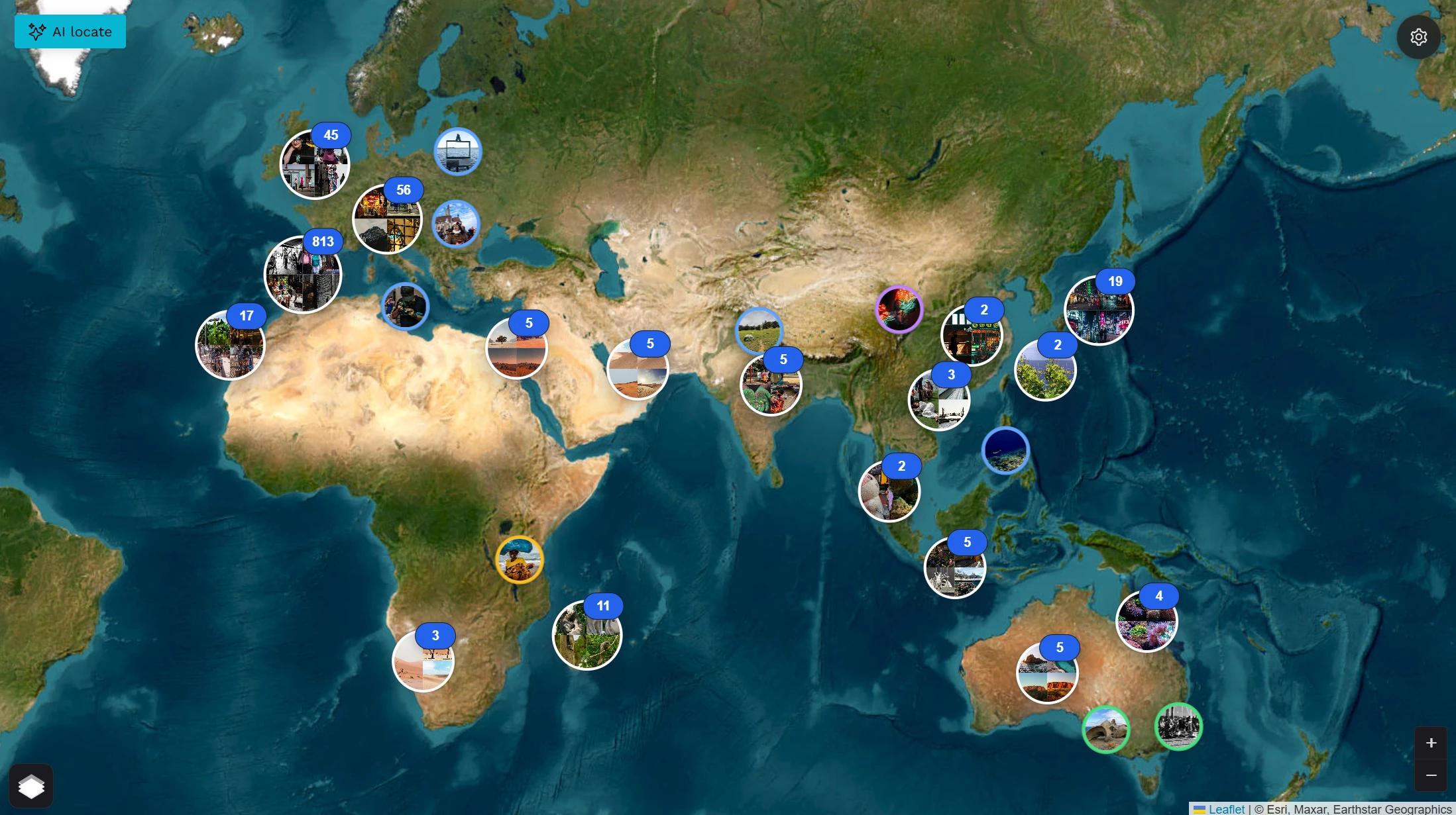
Scanned Slides and Negatives
Film scans are a special case, because the file carries the date of the scan, not the day you took the photo. That rules out track matching even if you had a track. Your options are the box label and your memory, a map by hand, or visual geolocation, which doesn't care when the scan was made. If you also want to fix the capture date (in Lightroom Classic, Metadata → Edit Capture Time), do it in the same session, so the archive ends up both dated and placed.
Geotag Your Photos with Photoreka
Photoreka has two tools for this, depending on whether you want a one-off job or locations inside your catalog.
Geo Recovery is the one-off option, with no account. You drop a batch of JPEG, PNG or WebP files into the browser; your originals stay on your device and only small thumbnails are sent for analysis. The AI places every photo it can locate on a map, marks the rest as unknown, and lets you move any pin or search for the right place by name. When you download, you get your original files back with the GPS coordinates written into their EXIF. It costs €0.012 per photo, VAT included, with a €2.40 minimum per batch, paid once. If you aren't sure your photos are suitable, you can test up to 10 of them for free first. RAW files aren't supported yet; for those, use the track or map methods above, or geotag the JPEGs you export.
If you already use Photoreka, AI Geo-Inference does the same job inside your catalog. It places photos without GPS on your world map, shows a free forecast of how many are likely to be located before you spend any credits, and works on photos synced from Lightroom Classic. It enriches your catalog rather than rewriting your files.
Geotag photos already taken
Put your archive back on the map
Test up to 10 photos for free, then geotag the whole batch: review every pin and download your originals with GPS in their EXIF. No account, no subscription.